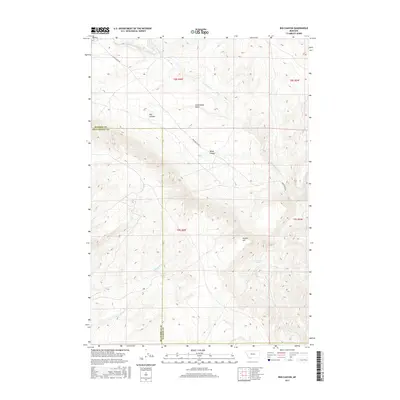
2017 Map of Red Canyon
USGS Topo · Published 2017About this map
Sweetwater Basin dominates the northern reaches of this high-altitude landscape where the headwaters of several drainages emerge. The terrain is defined by the significant elevation changes between the basin floor and prominent landmarks like Timber Hill and the eponymous Red Canyon. The boundary between Beaverhead and Madison Counties bisects the quadrangle, marking a transition in the local administration of these public and private lands.
Find a feature on this map
17 named features on this map. Tap any name to fly to it.
Don’t see what you’re looking for? This feature index may not catch every label — zoom into the map to look around manually.
Map Details
Editions of this 2017 Red Canyon Map
This is the sole edition of this map. No revisions or reprints were ever made.
Other maps of this area

1893 · Dillon
USGS Topo · 1:250,000

1955 · Dubois
USGS Topo · 1:250,000

1955 · Dillon
USGS Topo · 1:250,000

1957 · Dillon
USGS Topo · 1:250,000

1958 · Dubois
USGS Topo · 1:250,000

1958 · Dillon
USGS Topo · 1:250,000

1961 · Mine Gulch
USGS Topo · 1:24,000

1961 · Christensen Ranch
USGS Topo · 1:24,000

1961 · Red Canyon
USGS Topo · 1:24,000

1961 · Elk Gulch
USGS Topo · 1:24,000