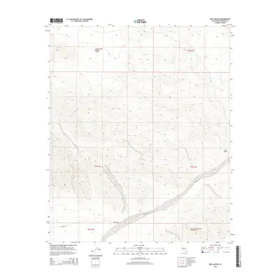
2015 Map of Red Canyon
USGS Topo · Published 2015About this map
Chocolate Mountains dominate the southern portion of this Riverside County landscape, where the arid terrain reveals a long history of travel and survival. The map traces the historic Bradshaw Trl, a vital nineteenth-century stage route that once connected the gold fields of the Colorado River to the coast. Along this corridor, reliable water sources like Canyon Spring and Gucci Spring served as essential waypoints for travelers crossing the desert. To the north, the elevation shifts into the Maniobra Valley, while the eponymous Red Canyon cuts a distinct path through the center of the sheet. The grid of section lines and township boundaries, such as t7s r13e, illustrates the systematic surveying of this remote region, highlighting the intersection of historical transit paths and modern geological mapping.
Find a feature on this map
13 named features on this map. Tap any name to fly to it.
Don’t see what you’re looking for? This feature index may not catch every label — zoom into the map to look around manually.
Map Details
Editions of this 2015 Red Canyon Map
This is the sole edition of this map. No revisions or reprints were ever made.
Other maps of this area

1940 · Frink
USGS Topo · 1:62,500

1940 · Cottonwood Spring
USGS Topo · 1:62,500

1940 · Canyon Spring
USGS Topo · 1:62,500

1940 · Durmid
USGS Topo · 1:62,500

1943 · Canyon Spring
USGS Topo · 1:62,500

1944 · Cottonwood Spring
USGS Topo · 1:62,500

1944 · Durmid
USGS Topo · 1:62,500

1944 · Frink
USGS Topo · 1:62,500

1954 · Salton Sea
USGS Topo · 1:250,000

1955 · Salton Sea
USGS Topo · 1:250,000