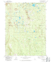
1979 Map of Red Cinder
USGS Topo · Published 1987About this map
The high volcanic terrain of the Lassen Co Plumas Co border defines this area of the southern Cascades during the late 1970s. Characterized by a dense concentration of alpine water bodies, the landscape includes Silver Lake, Long Lake, and Emerald Lake, many of which are tucked within the protected Caribou Wilderness. Human activity is primarily limited to recreational and forestry infrastructure, such as Silver Lake Road and various pack trails that wind toward South Caribou and Black Cinder Rock.
Find a feature on this map
50 named features on this map. Tap any name to fly to it.
Don’t see what you’re looking for? This feature index may not catch every label — zoom into the map to look around manually.
Map Details
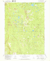
Editions of this 1979 Red Cinder Map
2 editions found
Other maps of this area

1886 · Lassen Peak
USGS Topo · 1:250,000

1892 · Lassen Peak
USGS Topo · 1:250,000

1894 · Lassen Peak
USGS Topo · 1:250,000

1939 · Halls Flat
USGS Topo · 1:125,000

1955 · Westwood
USGS Topo · 1:250,000

1956 · Mt. Harkness
USGS Topo · 1:62,500

1956 · Chester
USGS Topo · 1:62,500

1956 · Harvey Mtn
USGS Topo · 1:62,500

1957 · Prospect Peak
USGS Topo · 1:62,500

1958 · Westwood
USGS Topo · 1:250,000