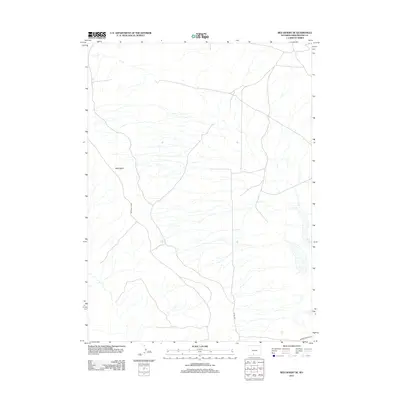
2012 Map of Red Desert SE
USGS Topo · Published 2012About this map
Wells Bluff rises as a prominent landmark in this high-desert landscape of Sweetwater County, shaping the drainage patterns that feed into the ephemeral basins of the Red Lakes to the east. This 2012 survey by the U.S. Geological Survey captures a sparsely populated interior region where transportation is defined by long-distance routes like Delaney Rim Rd and Barrel Springs Rd. The map reveals the intricate network of seasonal watercourses and topographic contours characteristic of the Red Desert, offering a clear view of the land before further infrastructure development. Local navigation in this area relies heavily on designated paths such as Co Rd 3323, which provides access through the arid terrain between the rim and the lakes.
Find a feature on this map
5 named features on this map. Tap any name to fly to it.
Don’t see what you’re looking for? This feature index may not catch every label — zoom into the map to look around manually.
Map Details
Editions of this 2012 Red Desert SE Map
This is the sole edition of this map. No revisions or reprints were ever made.
Other maps of this area

1954 · Rawlins
USGS Topo · 1:250,000

1954 · Rock Springs
USGS Topo · 1:250,000

1958 · Rawlins
USGS Topo · 1:250,000

1958 · Rock Springs
USGS Topo · 1:250,000

1962 · Rawlins
USGS Topo · 1:250,000

1962 · Rock Springs
USGS Topo · 1:250,000

1966 · Wamsutter
USGS Topo · 1:24,000

1966 · Eightmile Lake
USGS Topo · 1:24,000

1967 · Rawlins
USGS Topo · 1:250,000

1970 · Red Desert SW
USGS Topo · 1:24,000