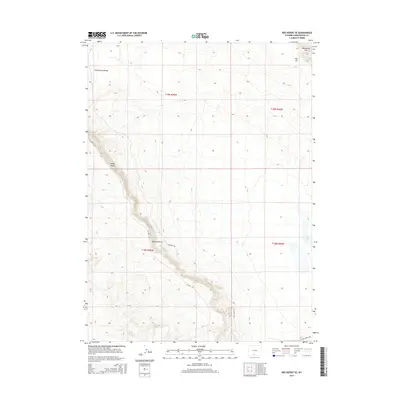
2015 Map of Red Desert SE
USGS Topo · Published 2015About this map
Continental Divide winds through this high-desert portion of Sweetwater County, marking a fundamental hydrologic boundary in the American West. The landscape is defined by massive escarpments and topographic shifts, most notably the Wamsutter Rim in the northeast and the curving sweep of the Delaney Rim in the south-central section. These geologic features, along with Wells Bluff and Big Hill, create a basin-and-rim environment typical of the Red Desert region.
Find a feature on this map
13 named features on this map. Tap any name to fly to it.
Don’t see what you’re looking for? This feature index may not catch every label — zoom into the map to look around manually.
Map Details
Editions of this 2015 Red Desert SE Map
This is the sole edition of this map. No revisions or reprints were ever made.
Other maps of this area

1954 · Rawlins
USGS Topo · 1:250,000

1954 · Rock Springs
USGS Topo · 1:250,000

1958 · Rawlins
USGS Topo · 1:250,000

1958 · Rock Springs
USGS Topo · 1:250,000

1962 · Rawlins
USGS Topo · 1:250,000

1962 · Rock Springs
USGS Topo · 1:250,000

1966 · Wamsutter
USGS Topo · 1:24,000

1966 · Eightmile Lake
USGS Topo · 1:24,000

1967 · Rawlins
USGS Topo · 1:250,000

1970 · Red Desert SW
USGS Topo · 1:24,000