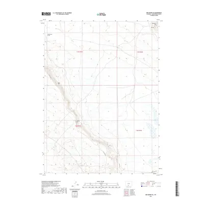
2017 Map of Red Desert SE
USGS Topo · Published 2017About this map
The Continental Divide traverses the northwestern portion of this high-altitude landscape in Sweetwater County, shaping the hydrology and topography of the Red Desert region. The terrain is defined by dramatic escarpments and elevation shifts, most notably along the Delaney Rim and Wells Bluff, which provide a distinct geological boundary across the southern and central sections of the quadrangle. These rims and bluffs create a complex system of drainage and seasonal basins, including the Red Lakes in the southeast.
Find a feature on this map
13 named features on this map. Tap any name to fly to it.
Don’t see what you’re looking for? This feature index may not catch every label — zoom into the map to look around manually.
Map Details
Editions of this 2017 Red Desert SE Map
This is the sole edition of this map. No revisions or reprints were ever made.
Other maps of this area

1954 · Rawlins
USGS Topo · 1:250,000

1954 · Rock Springs
USGS Topo · 1:250,000

1958 · Rawlins
USGS Topo · 1:250,000

1958 · Rock Springs
USGS Topo · 1:250,000

1962 · Rawlins
USGS Topo · 1:250,000

1962 · Rock Springs
USGS Topo · 1:250,000

1966 · Wamsutter
USGS Topo · 1:24,000

1966 · Eightmile Lake
USGS Topo · 1:24,000

1967 · Rawlins
USGS Topo · 1:250,000

1970 · Red Desert SW
USGS Topo · 1:24,000