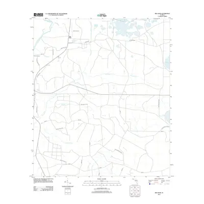
2012 Map of Red Head
USGS Topo · Published 2012About this map
The Choctawhatchee River defines the western edge of this Florida panhandle landscape, winding through a complex network of wetlands and tributaries near the community of Red Head. In the early 21st century, the area is characterized by vast conservation lands and timbered tracts, including the Pine Log State Frst and the Point Washington WMA. The presence of the Moody Fire Tower and Redhead Airport highlights the region's managed forestry and local aviation history.
Find a feature on this map
35 named features on this map. Tap any name to fly to it.
Don’t see what you’re looking for? This feature index may not catch every label — zoom into the map to look around manually.
Map Details
Editions of this 2012 Red Head Map
This is the sole edition of this map. No revisions or reprints were ever made.
Other maps of this area

1943 · Seminole Hills
USGS Topo · 1:24,000

1943 · West Bay
USGS Topo · 1:24,000

1943 · Southport
USGS Topo · 1:24,000

1944 · Southport
USGS Topo · 1:24,000

1944 · Seminole Hills
USGS Topo · 1:31,680

1944 · West Bay
USGS Topo · 1:31,680

1944 · Crystal Lake
USGS Topo · 1:24,000

1944 · Bruce
USGS Topo · 1:24,000

1945 · Red Head
USGS Topo · 1:31,680

1945 · Bruce
USGS Topo · 1:31,680