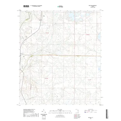
2021 Map of Red Head
USGS Topo · Published 2021About this map
The Choctawhatchee River and its accompanying Choctawhatchee River Blueway Tr form the western boundary of this landscape, where the settlements of Red Head and Ebro serve as local hubs. The terrain is defined by an intricate network of waterways and low-lying basins, including the curiously named Botheration Cr, Douglas Bay, and the expansive Court Martial Lake. Local transit and land use are marked by a transition from the Pine Log State Forest Trl in the south to the Redhead Airport and specialized routes like Racetrack Rd and Happy Hill Rd further north.
Find a feature on this map
39 named features on this map. Tap any name to fly to it.
Don’t see what you’re looking for? This feature index may not catch every label — zoom into the map to look around manually.
Map Details
Editions of this 2021 Red Head Map
This is the sole edition of this map. No revisions or reprints were ever made.
Other maps of this area

1943 · Seminole Hills
USGS Topo · 1:24,000

1943 · West Bay
USGS Topo · 1:24,000

1943 · Southport
USGS Topo · 1:24,000

1944 · Southport
USGS Topo · 1:24,000

1944 · Seminole Hills
USGS Topo · 1:31,680

1944 · West Bay
USGS Topo · 1:31,680

1944 · Crystal Lake
USGS Topo · 1:24,000

1944 · Bruce
USGS Topo · 1:24,000

1945 · Red Head
USGS Topo · 1:31,680

1945 · Bruce
USGS Topo · 1:31,680