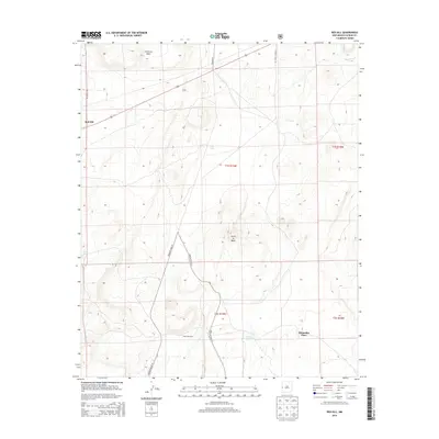
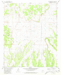
2013 Map of Red Hill
USGS Topo · Published 2013About this map
Cimarron Mesa and Cerro la Mula anchor this landscape in western Catron County, where the high desert terrain is marked by a network of ranching and land management infrastructure. The map depicts a sparse settlement pattern centered on the small community of Red Hill and the distinctively named Manuelito Place. Water management is central to life and industry here, evidenced by numerous livestock watering sites including Gatlin Lake, Luna Tank, C C Tank, and Loco Tank. The presence of the Lujan Windmill further underscores the reliance on groundwater in this arid environment. Transportation through the area is facilitated by established routes such as CO Road A005 and CO Road A7, alongside various forest service roads that provide access to the surrounding hills and plateaus.
Find a feature on this map
19 named features on this map. Tap any name to fly to it.
Don’t see what you’re looking for? This feature index may not catch every label — zoom into the map to look around manually.
Map Details
Editions of this 2013 Red Hill Map
This is the sole edition of this map. No revisions or reprints were ever made.
Other maps of this area

1954 · Saint Johns
USGS Topo · 1:250,000

1955 · Red Hill
USGS Topo · 1:24,000

1957 · Saint Johns
USGS Topo · 1:250,000

1958 · Saint Johns
USGS Topo · 1:250,000

1962 · Saint Johns
USGS Topo · 1:250,000
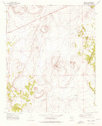
1972 · Red Hill
USGS Topo · 1:24,000

1972 · Blaines Lake
USGS Topo · 1:24,000
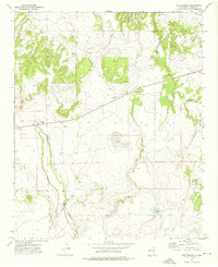
1972 · Cow Springs
USGS Topo · 1:24,000
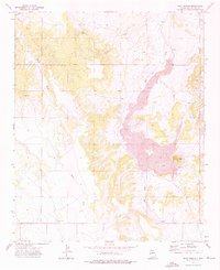
1972 · Goat Spring
USGS Topo · 1:24,000
1981 · Ponderosa Tank
USGS Topo · 1:24,000