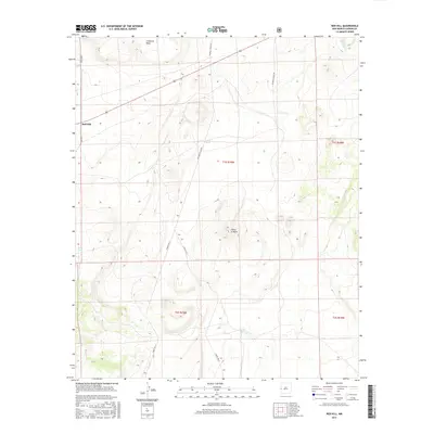
2017 Map of Red Hill
USGS Topo · Published 2017About this map
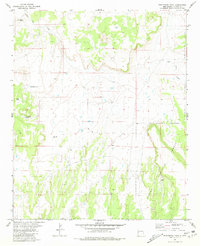
Red Hill serves as the primary landmark in this high-desert portion of Catron County, where ranching infrastructure and remote terrain define the landscape. The topographic data reveals a network of water management features essential for livestock, including Loco Tank, Luna Tank, and C C Tank, alongside the seasonal Gatlin Lake in the south. The terrain is marked by distinctive elevations such as Cimarron Mesa and the prominent Cerro la Mula. Transportation across this expansive territory relies on a series of local and forest roads, including Chavez Rd and Bill Knight Gap Rd, which connect the scattered holdings of this southwestern New Mexico region. This 2017 survey by the U.S. Geological Survey provides an intricate view of the land as it appeared in the mid-2010s, showing the intersection of private ranch lands and the public sections of the Apache National Forest.
Find a feature on this map
18 named features on this map. Tap any name to fly to it.
Don’t see what you’re looking for? This feature index may not catch every label — zoom into the map to look around manually.
Map Details
Editions of this 2017 Red Hill Map
This is the sole edition of this map. No revisions or reprints were ever made.
Other maps of this area

1954 · Saint Johns
USGS Topo · 1:250,000

1955 · Red Hill
USGS Topo · 1:24,000

1957 · Saint Johns
USGS Topo · 1:250,000

1958 · Saint Johns
USGS Topo · 1:250,000

1962 · Saint Johns
USGS Topo · 1:250,000
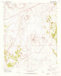
1972 · Red Hill
USGS Topo · 1:24,000

1972 · Blaines Lake
USGS Topo · 1:24,000
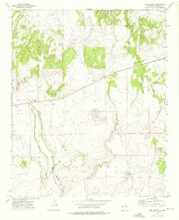
1972 · Cow Springs
USGS Topo · 1:24,000
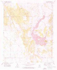
1972 · Goat Spring
USGS Topo · 1:24,000
1981 · Ponderosa Tank
USGS Topo · 1:24,000