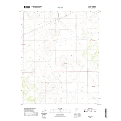
2020 Map of Red Hill
USGS Topo · Published 2020About this map
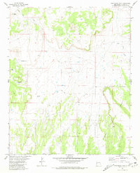
Red Hill sits atop a high volcanic landscape in western New Mexico, where the high desert terrain is punctuated by significant landforms like Cimarron Mesa and Cerro la Mula. This 2020 survey illustrates a sparsely populated ranching environment characterized by seasonal water sources and expansive cattle tanks such as Luna Tank, C C Tank, and Hoco Tank. To the southeast, the ephemeral Catlin Lake provides a rare basin for water collection in this arid region.
Find a feature on this map
15 named features on this map. Tap any name to fly to it.
Don’t see what you’re looking for? This feature index may not catch every label — zoom into the map to look around manually.
Map Details
Editions of this 2020 Red Hill Map
This is the sole edition of this map. No revisions or reprints were ever made.
Other maps of this area

1954 · Saint Johns
USGS Topo · 1:250,000

1955 · Red Hill
USGS Topo · 1:24,000

1957 · Saint Johns
USGS Topo · 1:250,000

1958 · Saint Johns
USGS Topo · 1:250,000

1962 · Saint Johns
USGS Topo · 1:250,000
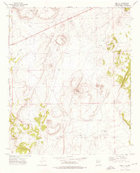
1972 · Red Hill
USGS Topo · 1:24,000

1972 · Blaines Lake
USGS Topo · 1:24,000
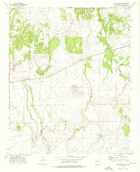
1972 · Cow Springs
USGS Topo · 1:24,000
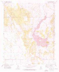
1972 · Goat Spring
USGS Topo · 1:24,000
1981 · Ponderosa Tank
USGS Topo · 1:24,000