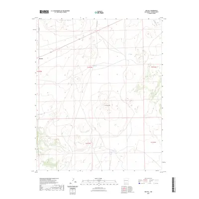
2023 Map of Red Hill
USGS Topo · Published 2023About this map
Red Hill serves as a lone settlement point in this arid high-desert landscape of western New Mexico. The terrain is defined by dramatic elevations and natural catchments, anchored by the broad expanse of Cimarron Mesa in the north and the distinctive rise of Cerro la Mula to the south. Water management is central to the land's utility, evidenced by a network of named livestock tanks including Loco Tank, Luna Tank, and C C Tank. These features, along with Gatlin Lake, suggest a landscape shaped by ranching and the seasonal flows of Agua Fria Creek. The map documents a sparse but vital transportation network, notably McKinley Ranch Rd and Co Rd A005, which provide the primary access through these rugged Catron County townships.
Find a feature on this map
15 named features on this map. Tap any name to fly to it.
Don’t see what you’re looking for? This feature index may not catch every label — zoom into the map to look around manually.
Map Details
Editions of this 2023 Red Hill Map
This is the sole edition of this map. No revisions or reprints were ever made.
Other maps of this area

1954 · Saint Johns
USGS Topo · 1:250,000

1955 · Red Hill
USGS Topo · 1:24,000

1957 · Saint Johns
USGS Topo · 1:250,000

1958 · Saint Johns
USGS Topo · 1:250,000

1962 · Saint Johns
USGS Topo · 1:250,000
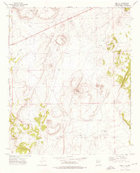
1972 · Red Hill
USGS Topo · 1:24,000

1972 · Blaines Lake
USGS Topo · 1:24,000
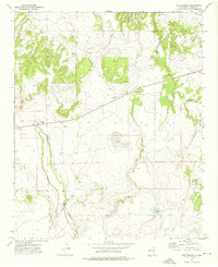
1972 · Cow Springs
USGS Topo · 1:24,000
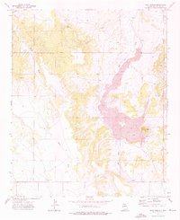
1972 · Goat Spring
USGS Topo · 1:24,000
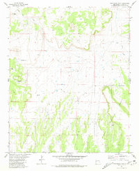
1981 · Ponderosa Tank
USGS Topo · 1:24,000