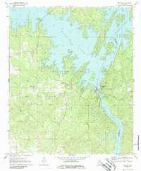
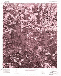
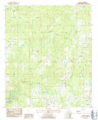
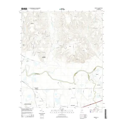
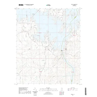
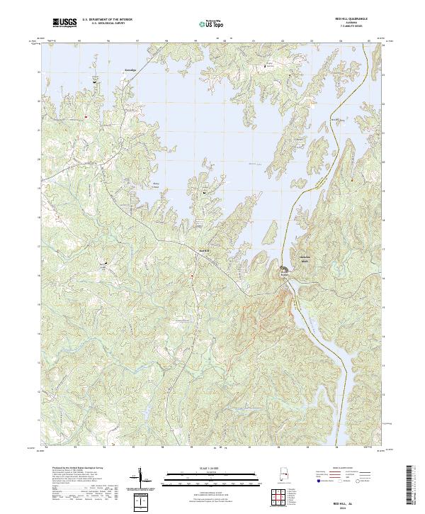
1971 Map of Red Hill
USGS Topo · Published 1986About this map
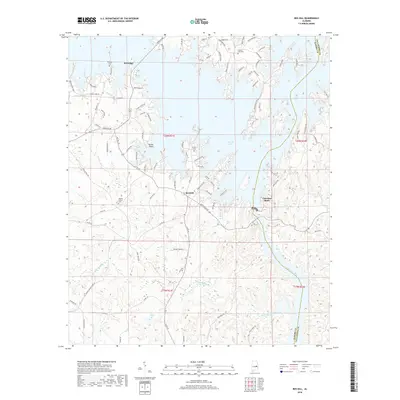
Martin Lake dominates this 1970s landscape, its sprawling shoreline reaching into the valleys of Gold Branch and Wind Creek. The map centers on the massive engineering of Martin Dam at Cherokee Bluffs, where the Tallapoosa River is harnessed by a Gaging Sta & Powerhouse. This era shows a transition from rural agricultural land to a recreation-centered economy, evidenced by the Church in the Pines near the settlement of Kowaliga.
Find a feature on this map
21 named features on this map. Tap any name to fly to it.
Don’t see what you’re looking for? This feature index may not catch every label — zoom into the map to look around manually.
Map Details
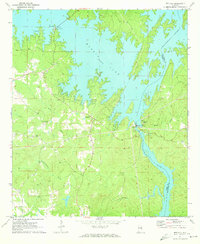
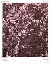
Editions of this 1971 Red Hill Map
2 editions found
Historical Maps of Cherokee Bluffs Through Time
29 maps found
1971 Red Hill
Elmore County, AL
1975 Elmore NE
Elmore County, AL
1975 Elmore SE
Elmore County, AL

1975 Mount Meigs NE
Elmore County, AL
1975 Wetumpka SE
Elmore County, AL
1975 Wetumpka SW
Elmore County, AL
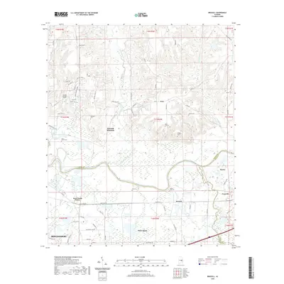
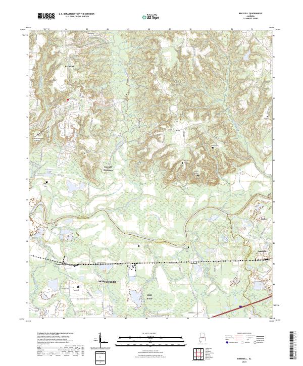
1987 Brassell
Elmore County, AL
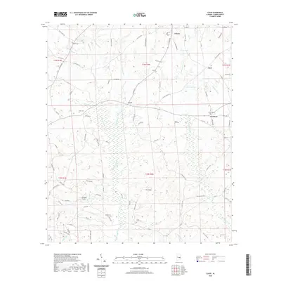
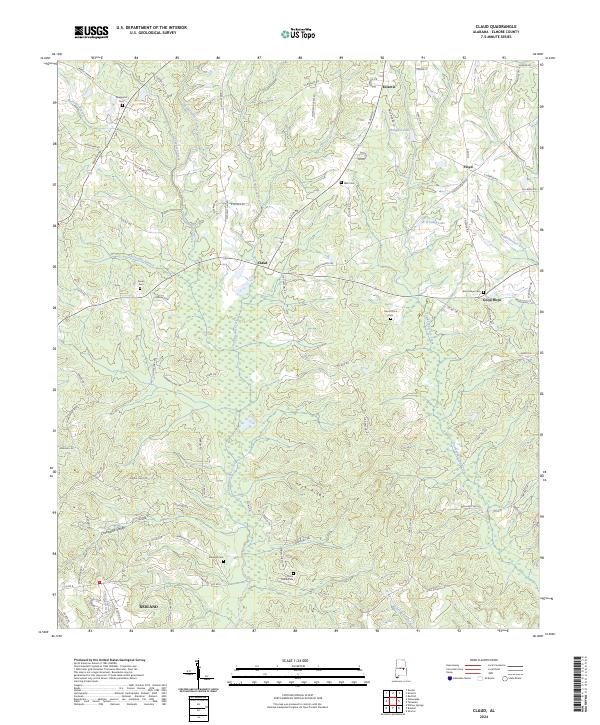
1987 Claud
Elmore County, AL
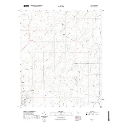
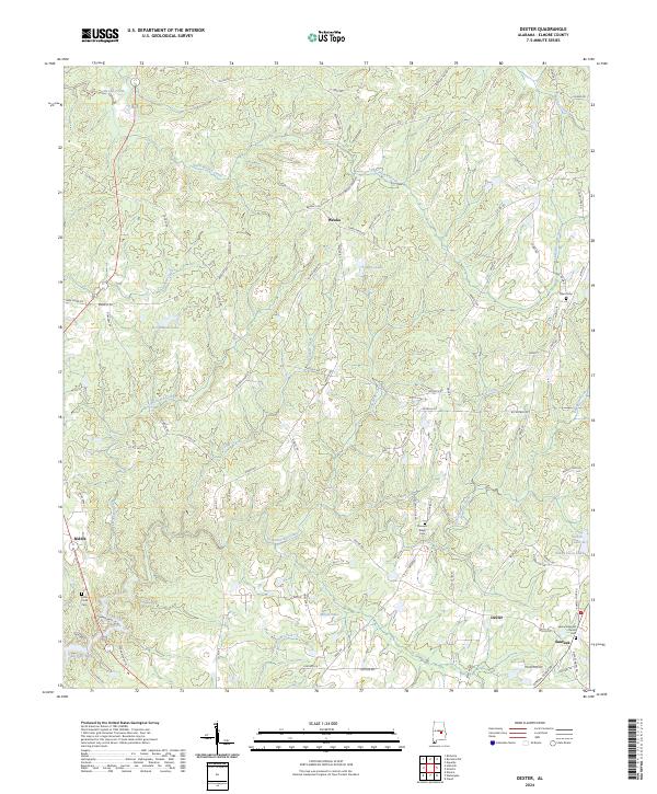
1987 Dexter
Elmore County, AL
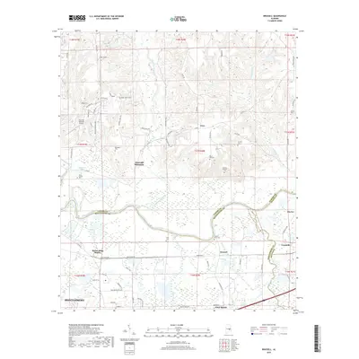
2011 Brassell
Elmore County, AL
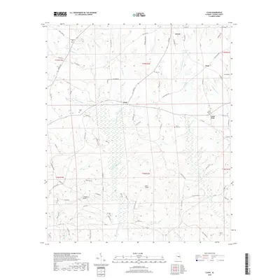
2011 Claud
Elmore County, AL

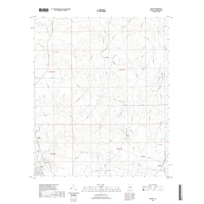
2011 Dexter
Elmore County, AL
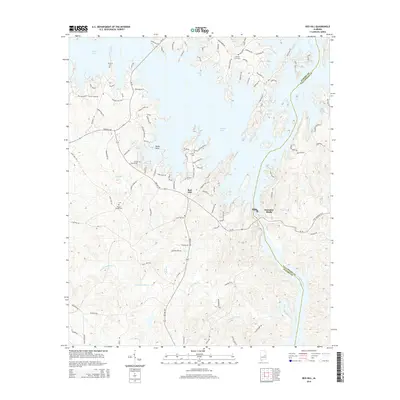
2011 Red Hill
Elmore County, AL
2014 Brassell
Elmore County, AL
2014 Claud
Elmore County, AL
2014 Dexter
Elmore County, AL
2014 Red Hill
Elmore County, AL
2018 Brassell
Elmore County, AL
2018 Claud
Elmore County, AL
2018 Dexter
Elmore County, AL
2018 Red Hill
Elmore County, AL
2020 Brassell
Elmore County, AL
2020 Claud
Elmore County, AL
2020 Dexter
Elmore County, AL
2020 Red Hill
Elmore County, AL
2024 Brassell
Elmore County, AL
2024 Claud
Elmore County, AL
2024 Dexter
Elmore County, AL
2024 Red Hill
Elmore County, AL