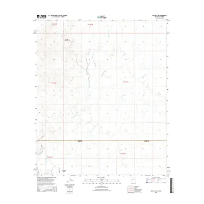
2014 Map of Red Hill SW
USGS Topo · Published 2014About this map
The southern reaches of the Chocolate Mountains dominate the northwestern corner of this desert landscape, where steep topography transitions into broad alluvial plains cut by seasonal drainage networks. These dry watercourses, most notably McAllister Wash and Indian Wash, weave southward through the arid terrain, illustrating the natural hydrological patterns of this border region. In the southwest, the community of Martinez Lake represents a primary point of human settlement, situated where the arid environment meets the influence of regional water systems.
Find a feature on this map
14 named features on this map. Tap any name to fly to it.
Don’t see what you’re looking for? This feature index may not catch every label — zoom into the map to look around manually.
Map Details
Editions of this 2014 Red Hill SW Map
This is the sole edition of this map. No revisions or reprints were ever made.
Other maps of this area

1903 · Yuma
USGS Topo · 1:125,000

1905 · Yuma
USGS Topo · 1:125,000

1929 · Laguna
USGS Topo · 1:62,500

1939 · Red Hill
USGS Topo · 1:62,500

1942 · Yuma
USGS Topo · 1:250,000

1942 · Blythe
USGS Topo · 1:250,000

1943 · Laguna
USGS Topo · 1:62,500

1945 · Picacho Peak
USGS Topo · 1:62,500

1945 · Picacho
USGS Topo · 1:62,500

1951 · Picacho
USGS Topo · 1:62,500