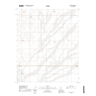
2018 Map of Red Hill SW
USGS Topo · Published 2018About this map
The Chocolate Mountains dominate the northern landscape of this California desert region, where seasonal drainage patterns define the local geography. Significant desert conduits such as McAllister Wash, Indian Wash, and Los Angeles Wash intersect the arid terrain, illustrating how water historically moved across the basin toward the south. The southern edge of the quadrangle marks the border between La Paz and Yuma counties, a transition signaled by the shift from the Colorado Desert into the Lower Colorado River Valley ecosystem.
Find a feature on this map
14 named features on this map. Tap any name to fly to it.
Don’t see what you’re looking for? This feature index may not catch every label — zoom into the map to look around manually.
Map Details
Editions of this 2018 Red Hill SW Map
This is the sole edition of this map. No revisions or reprints were ever made.
Other maps of this area

1903 · Yuma
USGS Topo · 1:125,000

1905 · Yuma
USGS Topo · 1:125,000

1929 · Laguna
USGS Topo · 1:62,500

1939 · Red Hill
USGS Topo · 1:62,500

1942 · Yuma
USGS Topo · 1:250,000

1942 · Blythe
USGS Topo · 1:250,000

1943 · Laguna
USGS Topo · 1:62,500

1945 · Picacho Peak
USGS Topo · 1:62,500

1945 · Picacho
USGS Topo · 1:62,500

1951 · Picacho
USGS Topo · 1:62,500