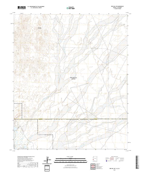
2021 Map of Red Hill SW
USGS Topo · Published 2021About this map
The Chocolate Mountains dominate the northwestern corner of this landscape, which is defined by a series of broad, braided drainage systems moving southwest through the desert. These extensive alluvial networks, including McAllister Wash and Indian Wash, reveal the natural hydrology of the lower Colorado River region before it meets the La Paz and Yuma county line. The presence of routes like Red Cloud Rd and the Painted Desert Trl suggests a history of localized desert travel and access to the interior of the mountains, while Los Angeles Wash cuts through the southeastern quadrant. This 2021 update maintains the Public Land Survey System grids, such as t4s r21w, which frame the sparsely populated but geographically complex terrain.
Find a feature on this map
14 named features on this map. Tap any name to fly to it.
Don’t see what you’re looking for? This feature index may not catch every label — zoom into the map to look around manually.
Map Details
Editions of this 2021 Red Hill SW Map
This is the sole edition of this map. No revisions or reprints were ever made.
Other maps of this area

1903 · Yuma
USGS Topo · 1:125,000

1905 · Yuma
USGS Topo · 1:125,000

1929 · Laguna
USGS Topo · 1:62,500

1939 · Red Hill
USGS Topo · 1:62,500

1942 · Yuma
USGS Topo · 1:250,000

1942 · Blythe
USGS Topo · 1:250,000

1943 · Laguna
USGS Topo · 1:62,500

1945 · Picacho Peak
USGS Topo · 1:62,500

1945 · Picacho
USGS Topo · 1:62,500

1951 · Picacho
USGS Topo · 1:62,500