
1960 Map of Red Hole
USGS Topo · Published 1962About this map
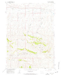
Red Hole Oil Field and the surrounding energy-producing landscape of Hot Springs County dominate this 1960 survey. The topography is defined by complex drainage systems such as Rock Springs Draw and Red Springs Draw, which carve through the high plains toward Kirby Creek in the north. This era represents a period of active resource extraction, evidenced by the clustered wells of the East Warm Springs Oil Field and West Warm Springs Oil Field situated near the thermal namesake waters of Warm Springs.
Find a feature on this map
18 named features on this map. Tap any name to fly to it.
Don’t see what you’re looking for? This feature index may not catch every label — zoom into the map to look around manually.
Map Details
Editions of this 1960 Red Hole Map
2 editions found
Other maps of this area

1945 · Kirby
USGS Topo · 1:62,500

1946 · Kirby
USGS Topo · 1:62,500

1955 · Thermopolis
USGS Topo · 1:250,000

1955 · Arminto
USGS Topo · 1:250,000

1958 · Thermopolis
USGS Topo · 1:250,000

1958 · Arminto
USGS Topo · 1:250,000

1960 · Devil Slide
USGS Topo · 1:24,000

1960 · Coyote Hill
USGS Topo · 1:24,000
1960 · Blue Hill
USGS Topo · 1:24,000
1960 · Wedding Of The Waters
USGS Topo · 1:24,000