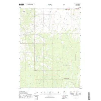
2020 Map of Red Hole
USGS Topo · Published 2020About this map
The Wyoming-Utah state line bisects this high-elevation terrain where Uinta County and Summit County meet. Much of the southern landscape is defined by the Wasatch National Forest, characterized by the complex drainage network of the Chalk Creek headwaters. Steep ridges like Porcupine Ridge rise above the deep valleys formed by Mill Fork and the Middle Fork East Fork Chalk Creek. The namesake Red Hole area sits near the confluence of these various forks, serving as a focal point for the region's topographical layout. Transport is limited to rugged corridors such as East Chalk Creek Road, which follows the watercourses through the timbered heights. This map captures the intersection of state boundaries and protected federal lands, illustrating the isolation and specialized hydrography of the high mountain backcountry.
Find a feature on this map
11 named features on this map. Tap any name to fly to it.
Don’t see what you’re looking for? This feature index may not catch every label — zoom into the map to look around manually.
Map Details
Editions of this 2020 Red Hole Map
This is the sole edition of this map. No revisions or reprints were ever made.
Other maps of this area

1885 · Salt Lake
USGS Topo · 1:250,000

1885 · Uinta
USGS Topo · 1:250,000

1900 · Coalville
USGS Topo · 1:125,000

1901 · Hayden Peak
USGS Topo · 1:125,000

1903 · Hayden Peak
USGS Topo · 1:125,000

1903 · Coalville
USGS Topo · 1:125,000

1954 · Salt Lake City
USGS Topo · 1:250,000

1954 · Ogden
USGS Topo · 1:250,000

1958 · Ogden
USGS Topo · 1:250,000

1958 · Salt Lake City
USGS Topo · 1:250,000