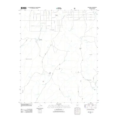
2011 Map of Red Knoll
USGS Topo · Published 2011About this map
Brookbank Canyon and the high desert landscape north of Heber define this area of Navajo County. The land is marked by an extensive system of earthen tanks and washes essential for water management in the arid Arizona interior. Named features like Solomon Butte and Red Knoll rise above the drainage networks of Larson Draw and Pierce Wash. A grid of residential and ranch roads, including the evocatively named Hashknife Trl and Oil Pan Aly, occupies the northern portion of the quadrangle, illustrating the modern subdivision of traditional ranching territory. To the south, the terrain becomes more isolated, dominated by open flats and intermittent water sources such as Ancient Tank and Uranium Tank, reflecting the area's geological and livestock-raising history.
Find a feature on this map
49 named features on this map. Tap any name to fly to it.
Don’t see what you’re looking for? This feature index may not catch every label — zoom into the map to look around manually.
Map Details
Editions of this 2011 Red Knoll Map
This is the sole edition of this map. No revisions or reprints were ever made.
Other maps of this area

1886 · Holbrook
USGS Topo · 1:250,000

1893 · Holbrook
USGS Topo · 1:250,000

1954 · Holbrook
USGS Topo · 1:250,000

1957 · Holbrook
USGS Topo · 1:250,000

1958 · Holbrook
USGS Topo · 1:250,000

1960 · Holbrook
USGS Topo · 1:250,000

1961 · Clay Springs
USGS Topo · 1:62,500

1961 · Heber
USGS Topo · 1:62,500

1970 · Red Knoll
USGS Topo · 1:24,000
1971 · Zeniff
USGS Topo · 1:24,000