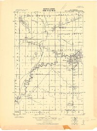
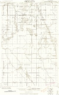
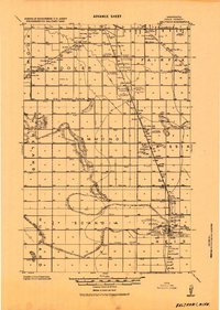
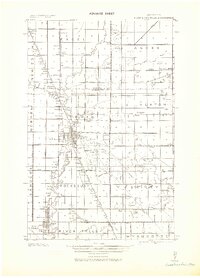
1918 Map of Red Lake Falls
USGS Topo · Published 1918About this map
The Red Lake River meanders sharply through this 1918 military survey, defining the development of Red Lake Falls where a Dam and numerous bridges supported the local economy. At this time, the landscape was a grid of townships like Louisville and Gentilly, heavily influenced by the arrival of the Great Northern and Northern Pacific railroads. These rail lines facilitated the growth of small shipping points and settlements such as Wylie, Perault, and Dorothy.
Find a feature on this map
44 named features on this map. Tap any name to fly to it.
Don’t see what you’re looking for? This feature index may not catch every label — zoom into the map to look around manually.
Map Details
Editions of this 1918 Red Lake Falls Map
This is the sole edition of this map. No revisions or reprints were ever made.
Other maps of this area

1918 · Angus
USGS Topo · 1:62,500
1918 · Terrebonne
USGS Topo · 1:62,500
1918 · Viking
USGS Topo · 1:62,500
1919 · Valley
USGS Topo · 1:62,500
1919 · Beltrami
USGS Topo · 1:62,500
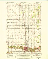
1943 · Thief River Falls
USGS Topo · 1:62,500
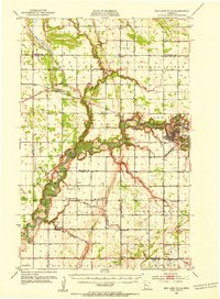
1952 · Red Lake Falls
USGS Topo · 1:62,500

1952 · Grand Forks
USGS Topo · 1:250,000

1952 · Thief River Falls
USGS Topo · 1:250,000
1953 · Crookston
USGS Topo · 1:62,500