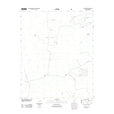
2012 Map of Red Lake Flat
USGS Topo · Published 2012About this map
Red Lake Flat and the surrounding high desert of Yavapai County are defined by a network of seasonal water catchments and ranching infrastructure. The H-Ranch serves as a primary local landmark near Red Lake Draw, illustrating the continued importance of livestock management in this arid landscape. A complex system of tanks, including Big Purcell Tank, Mapes Tank, and Short Creek Tank, provides critical water sources across the terrain.
Find a feature on this map
32 named features on this map. Tap any name to fly to it.
Don’t see what you’re looking for? This feature index may not catch every label — zoom into the map to look around manually.
Map Details
Editions of this 2012 Red Lake Flat Map
This is the sole edition of this map. No revisions or reprints were ever made.
Other maps of this area

1886 · Diamond Creek
USGS Topo · 1:250,000

1886 · Chino
USGS Topo · 1:250,000

1891 · Chino
USGS Topo · 1:250,000

1892 · Diamond Creek
USGS Topo · 1:250,000

1947 · Turkey Canyon
USGS Topo · 1:62,500

1948 · Williams
USGS Topo · 1:250,000

1950 · Turkey Canyon
USGS Topo · 1:62,500

1954 · Williams
USGS Topo · 1:250,000

1956 · Williams
USGS Topo · 1:250,000

1960 · Williams
USGS Topo · 1:250,000