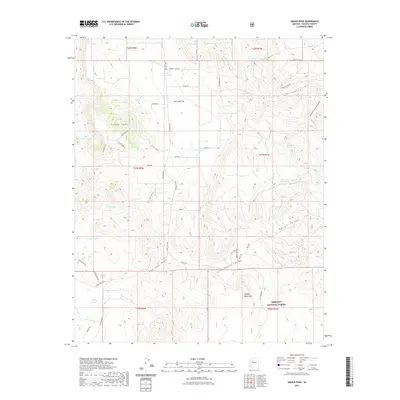
2021 Map of Red Lake Flat
USGS Topo · Published 2021About this map
Squaw Peak dominates the western horizon of this high-desert landscape in Yavapai County, overlooking a network of dry washes and canyons that define the local drainage patterns. The terrain transitions from the open expanse of Red Lake Flat and the Red Lake basin into the more complex topography of Purcell Canyon and the northern reaches of the Juniper Mountains. A significant portion of the southeastern corner is protected within the Prescott National Forest.
Find a feature on this map
53 named features on this map. Tap any name to fly to it.
Don’t see what you’re looking for? This feature index may not catch every label — zoom into the map to look around manually.
Map Details
Editions of this 2021 Red Lake Flat Map
This is the sole edition of this map. No revisions or reprints were ever made.
Other maps of this area

1886 · Diamond Creek
USGS Topo · 1:250,000

1886 · Chino
USGS Topo · 1:250,000

1891 · Chino
USGS Topo · 1:250,000

1892 · Diamond Creek
USGS Topo · 1:250,000

1947 · Turkey Canyon
USGS Topo · 1:62,500

1948 · Williams
USGS Topo · 1:250,000

1950 · Turkey Canyon
USGS Topo · 1:62,500

1954 · Williams
USGS Topo · 1:250,000

1956 · Williams
USGS Topo · 1:250,000

1960 · Williams
USGS Topo · 1:250,000