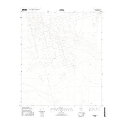
2016 Map of Red Lakes
USGS Topo · Published 2016About this map
Red Lakes and a series of livestock tanks punctuate this section of the Permian Basin, where the arid landscape is defined by subtle elevation changes and a grid of rural access roads. The hydrology of the area, represented by Red Tank and Claypit Tank, suggests the ongoing importance of water management for ranching or industrial use in this portion of West Texas. The terrain is largely dominated by wide, open stretches and intermittent depressions, characteristic of the Llano Estacado's southern reaches. Sparse transportation infrastructure, such as the northern Co RD, indicates a region focused on resource extraction or grazing rather than dense settlement, preserving the spatial layout of the county's rural hinterlands as they appeared in the early 21st century.
Find a feature on this map
4 named features on this map. Tap any name to fly to it.
Don’t see what you’re looking for? This feature index may not catch every label — zoom into the map to look around manually.
Map Details
Editions of this 2016 Red Lakes Map
This is the sole edition of this map. No revisions or reprints were ever made.
Other maps of this area

1954 · Pecos
USGS Topo · 1:250,000

1957 · Pecos
USGS Topo · 1:250,000

1964 · Turnbaugh Corner
USGS Topo · 1:24,000

1964 · Douro
USGS Topo · 1:24,000

1964 · Metz
USGS Topo · 1:24,000

1964 · Red Lakes
USGS Topo · 1:24,000

1964 · Penwell
USGS Topo · 1:24,000

1965 · Goldsmith
USGS Topo · 1:24,000

1968 · Cowden Place
USGS Topo · 1:24,000

1971 · Notrees
USGS Topo · 1:24,000