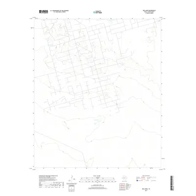
2019 Map of Red Lakes
USGS Topo · Published 2019About this map
Red Lakes and Claypit Tank define the sparse water resources of this high plains landscape in Ector County. The terrain is marked by a sophisticated network of local roads and extraction-related infrastructure, characteristic of the Permian Basin's industrial footprint in the twenty-first century. Topographic contours show the subtle depressions of these ephemeral lakes, which are critical landmarks in an otherwise open environment. While the landscape is dominated by modern industrial development, the placement of Co Rd and other local connectors highlights how transportation routes have adapted to the area's specialized land use and energy production requirements.
Find a feature on this map
3 named features on this map. Tap any name to fly to it.
Don’t see what you’re looking for? This feature index may not catch every label — zoom into the map to look around manually.
Map Details
Editions of this 2019 Red Lakes Map
This is the sole edition of this map. No revisions or reprints were ever made.
Other maps of this area

1954 · Pecos
USGS Topo · 1:250,000

1957 · Pecos
USGS Topo · 1:250,000

1964 · Turnbaugh Corner
USGS Topo · 1:24,000

1964 · Douro
USGS Topo · 1:24,000

1964 · Metz
USGS Topo · 1:24,000

1964 · Red Lakes
USGS Topo · 1:24,000

1964 · Penwell
USGS Topo · 1:24,000

1965 · Goldsmith
USGS Topo · 1:24,000

1968 · Cowden Place
USGS Topo · 1:24,000

1971 · Notrees
USGS Topo · 1:24,000