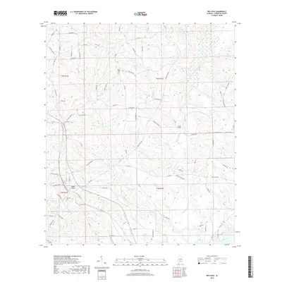
2018 Map of Red Level
USGS Topo · Published 2018About this map
Red Level stands as the primary hub of this Covington County landscape, where the local road network converges near the Fairmount Cem. The terrain is defined by a dense drainage system of creeks and ponds, most notably the winding path of Patsaliga Creek and its crossing at Barnes Bridge. To the north, the land rises around Mount Carmel Cem and the waters of Ingram Pond.
Find a feature on this map
88 named features on this map. Tap any name to fly to it.
Don’t see what you’re looking for? This feature index may not catch every label — zoom into the map to look around manually.
Map Details
Editions of this 2018 Red Level Map
This is the sole edition of this map. No revisions or reprints were ever made.
Other maps of this area

1953 · Andalusia
USGS Topo · 1:250,000

1957 · Andalusia
USGS Topo · 1:250,000

1971 · Brooks
USGS Topo · 1:24,000

1971 · Industry
USGS Topo · 1:24,000

1971 · River Falls
USGS Topo · 1:24,000

1971 · Mc Kenzie
USGS Topo · 1:24,000

1971 · Andalusia
USGS Topo · 1:24,000

1971 · Gantt
USGS Topo · 1:24,000

1971 · Leon
USGS Topo · 1:24,000

1971 · Red Level
USGS Topo · 1:24,000