1971 Map of Red Level
USGS Topo · Published 1986About this map
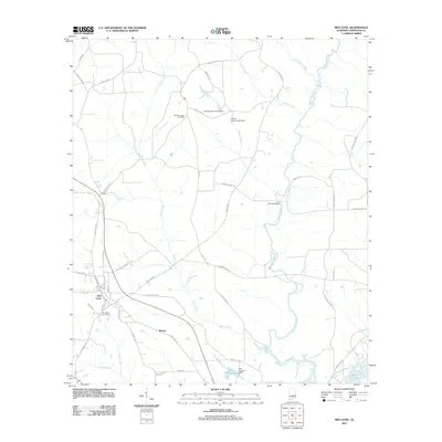
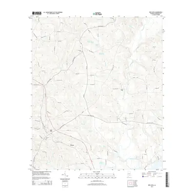
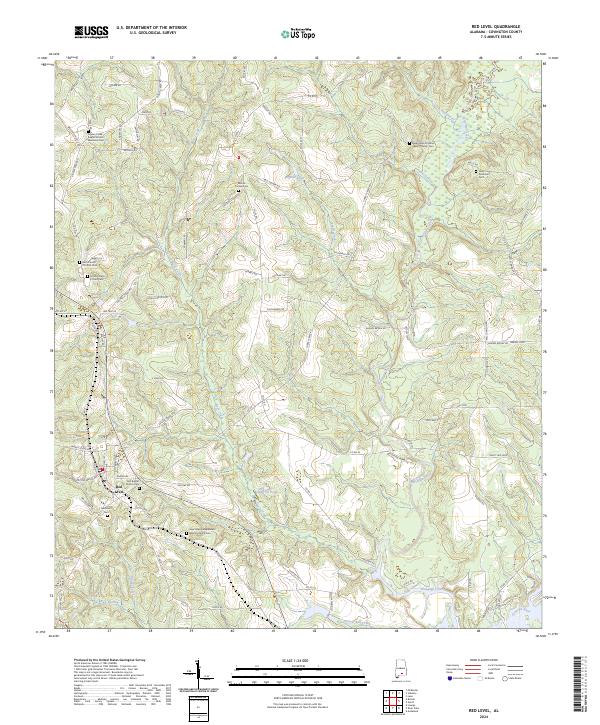
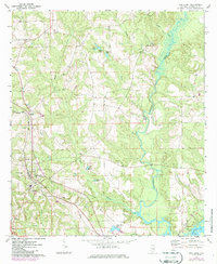
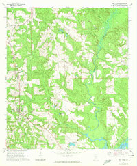
Red Level stands at the heart of this landscape, its town grid intersected by the Seaboard railroad as it runs toward the southwest. The geography is defined by a dense network of waterways, including the winding Patsaliga Creek and the southern reaches of Point A Lake on the Conecuh R. Small family-named water bodies like Bryant Pond and Ingram Pond suggest a history of local land management and agriculture common to Covington County. Religious life is clearly mapped through a variety of rural congregations, including Pigeon Creek Ch, New Hope Ch, and Mt Carmel Cem Ch, which also serves as a local cemetery. The presence of Crystal Springs Park and a central High Sch in the Red Level area indicates a well-established community center serving the surrounding countryside.
Find a feature on this map
31 named features on this map. Tap any name to fly to it.
Don’t see what you’re looking for? This feature index may not catch every label — zoom into the map to look around manually.
Map Details
Editions of this 1971 Red Level Map
2 editions found
Historical Maps of Red Level Through Time
6 maps found