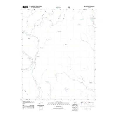
2011 Map of Red Mountain
USGS Topo · Published 2011About this map
The Congress Mine sits tucked into the Western San Juan mountains, marking a point of industrial interest above the Conejos River. This high-altitude landscape is defined by its water and grazing history, with drainage networks like Valdez Creek and Saddle Creek feeding into the main river valley. Cultural footprints are centered on seasonal and agricultural sites, including the Lake Fork Ranch and the Jim Creek Cow Camp further east. The map illustrates a transitional mountain environment where forest access roads like Forest 250 Rd connect remote alpine lakes such as Empedrado Lake and Spencer Lake. From the heights of Red Mountain to the open stretches of La Jara Meadows, the geography reflects a long-standing reliance on the land for both resource extraction and high-country ranching.
Find a feature on this map
36 named features on this map. Tap any name to fly to it.
Don’t see what you’re looking for? This feature index may not catch every label — zoom into the map to look around manually.
Map Details
Editions of this 2011 Red Mountain Map
This is the sole edition of this map. No revisions or reprints were ever made.
Other maps of this area

1913 · Summitville
USGS Topo · 1:125,000

1915 · Summitville
USGS Topo · 1:125,000

1922 · Conejos
USGS Topo · 1:125,000

1945 · Durango
USGS Topo · 1:250,000

1953 · Durango
USGS Topo · 1:250,000

1954 · Durango
USGS Topo · 1:250,000

1957 · Chama Peak
USGS Topo · 1:62,500

1961 · Durango
USGS Topo · 1:250,000

1963 · Durango
USGS Topo · 1:250,000

1966 · Durango
USGS Topo · 1:250,000