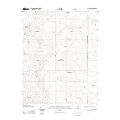
2013 Map of Red Mountain
USGS Topo · Published 2013About this map
The Rio Grande National Forest dominates this section of Conejos County, where high-altitude drainages define the landscape. The Conejos River and Lake Fork flow through the western portion of the quadrangle, supporting seasonal outposts like the Lake Fork Ranch and the Lake Fork Campground. This 2013 survey illustrates a landscape primarily managed for timber, grazing, and recreation, evidenced by the presence of the Jim Creek Cow Camp near the eastern boundary.
Find a feature on this map
42 named features on this map. Tap any name to fly to it.
Don’t see what you’re looking for? This feature index may not catch every label — zoom into the map to look around manually.
Map Details
Editions of this 2013 Red Mountain Map
This is the sole edition of this map. No revisions or reprints were ever made.
Other maps of this area

1913 · Summitville
USGS Topo · 1:125,000

1915 · Summitville
USGS Topo · 1:125,000

1922 · Conejos
USGS Topo · 1:125,000

1945 · Durango
USGS Topo · 1:250,000

1953 · Durango
USGS Topo · 1:250,000

1954 · Durango
USGS Topo · 1:250,000

1957 · Chama Peak
USGS Topo · 1:62,500

1961 · Durango
USGS Topo · 1:250,000

1963 · Durango
USGS Topo · 1:250,000

1966 · Durango
USGS Topo · 1:250,000