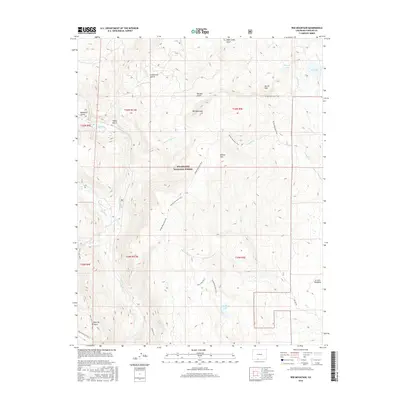
2016 Map of Red Mountain
USGS Topo · Published 2016About this map
The high-altitude drainage basins of the Rio Grande National Forest define this terrain, where the headwaters of the Conejos River and its numerous tributaries cut through deep gulches. Steep elevation changes are marked by prominent peaks such as Red Mountain and Willow Mountain, with the landscape transitioning into the open La Jara Meadows to the southeast. This 2016 survey documents a complex network of ridgeline and valley paths, including the Willow Mountain Trail and Empedrado Lake Trail, which connect alpine water bodies like Empedrado Lake and Rock Lake.
Find a feature on this map
37 named features on this map. Tap any name to fly to it.
Don’t see what you’re looking for? This feature index may not catch every label — zoom into the map to look around manually.
Map Details
Editions of this 2016 Red Mountain Map
This is the sole edition of this map. No revisions or reprints were ever made.
Other maps of this area

1913 · Summitville
USGS Topo · 1:125,000

1915 · Summitville
USGS Topo · 1:125,000

1922 · Conejos
USGS Topo · 1:125,000

1945 · Durango
USGS Topo · 1:250,000

1953 · Durango
USGS Topo · 1:250,000

1954 · Durango
USGS Topo · 1:250,000

1957 · Chama Peak
USGS Topo · 1:62,500

1961 · Durango
USGS Topo · 1:250,000

1963 · Durango
USGS Topo · 1:250,000

1966 · Durango
USGS Topo · 1:250,000