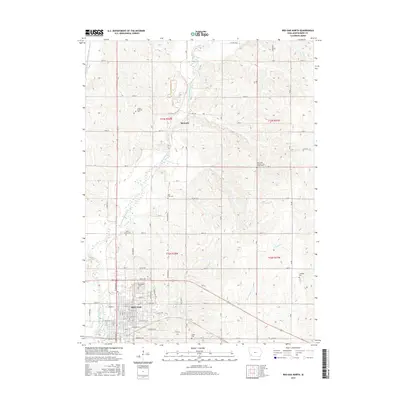
2015 Map of Red Oak North
USGS Topo · Published 2015About this map
The East Nishnabotna River carves a winding path through this Montgomery County landscape, anchoring the settlement patterns of Stennett and the northern reaches of Red Oak. This survey provides a look at the rural intersection of agriculture and ancestry, where a high density of small burial sites are preserved among the section lines. Notable genealogical landmarks include the Saint Clair Cem, Saint Marys Cem, and the uniquely designated Mrs Frank Hacffich and Infant Grave. In the southern portion of the map, the grid of Red Oak emerges with detailed street labeling, including W Coolbaugh St and E Market St, centered around the expansive Evergreen Cem. The drainage network, featuring Red Oak Cr and W Tarkio Cr, illustrates the local topography that shaped the development of these Iowa communities.
Find a feature on this map
56 named features on this map. Tap any name to fly to it.
Don’t see what you’re looking for? This feature index may not catch every label — zoom into the map to look around manually.
Map Details
Editions of this 2015 Red Oak North Map
This is the sole edition of this map. No revisions or reprints were ever made.
Other maps of this area

1954 · Omaha
USGS Topo · 1:250,000

1955 · Nebraska City
USGS Topo · 1:250,000

1957 · Nebraska City
USGS Topo · 1:250,000

1957 · Omaha
USGS Topo · 1:250,000

1958 · Omaha
USGS Topo · 1:250,000

1958 · Nebraska City
USGS Topo · 1:250,000

1978 · Stanton
USGS Topo · 1:24,000

1978 · Griswold
USGS Topo · 1:24,000

1978 · Wallin
USGS Topo · 1:24,000

1978 · Wales
USGS Topo · 1:24,000