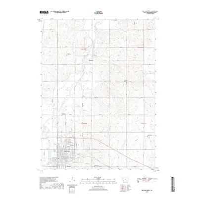
2018 Map of Red Oak North
USGS Topo · Published 2018About this map
The East Nishnabotna River valley anchors this 2018 study of the area north of Red Oak. This Montgomery County landscape is a high-detail record of local rural heritage, notable for several family and community burial sites. Small family plots like the L Laire Property Cem and the uniquely named Mrs Frank Haefflich and Infant Grave sit atop the ridges overlooking the river. Further south, the map captures the residential expansion of northern Red Oak, including street-level detail from E Maple St to E Nuckols St. The settlement of Stennett serves as a secondary northern hub where Co Hwy M55 meets the river. Tributaries such as Walnut Cr and W Tarkio Cr carve through the agricultural uplands, defining the township boundaries of t73n r38w and t72n r37w.
Find a feature on this map
57 named features on this map. Tap any name to fly to it.
Don’t see what you’re looking for? This feature index may not catch every label — zoom into the map to look around manually.
Map Details
Editions of this 2018 Red Oak North Map
This is the sole edition of this map. No revisions or reprints were ever made.
Other maps of this area

1954 · Omaha
USGS Topo · 1:250,000

1955 · Nebraska City
USGS Topo · 1:250,000

1957 · Nebraska City
USGS Topo · 1:250,000

1957 · Omaha
USGS Topo · 1:250,000

1958 · Omaha
USGS Topo · 1:250,000

1958 · Nebraska City
USGS Topo · 1:250,000

1978 · Stanton
USGS Topo · 1:24,000

1978 · Griswold
USGS Topo · 1:24,000

1978 · Wallin
USGS Topo · 1:24,000

1978 · Wales
USGS Topo · 1:24,000