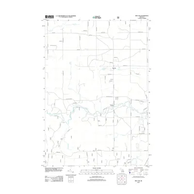
2012 Map of Red Oak
USGS Topo · Published 2012About this map
The Au Sable River winds through this landscape, defining the character of Big Creek Township just south of the settlement at Red Oak. The river valley is a focal point of activity, marked by the Parmalee Bridges and a network of recreation-oriented trails such as Matheny Trl and Tuckers Trl. To the northwest, the Elk Hill Lookout Tower stands near Sohn Cr, anchoring a high point in a region dominated by water and woodland. This 2012 survey illustrates a modern grid of rural roads, including Meridian Rd and Townline Rd, intersecting a terrain rich with smaller tributaries like Beaver Cr, Red Cr, and Whitewater Cr. The presence of numerous named drainages and small lakes, such as Glenn Lake, suggests a landscape shaped by seasonal hydrology and conservation land use typical of northern Michigan.
Find a feature on this map
70 named features on this map. Tap any name to fly to it.
Don’t see what you’re looking for? This feature index may not catch every label — zoom into the map to look around manually.
Map Details
Editions of this 2012 Red Oak Map
This is the sole edition of this map. No revisions or reprints were ever made.
Other maps of this area

1949 · Lewiston
USGS Topo · 1:62,500

1950 · Comstock Hills
USGS Topo · 1:24,000

1950 · Lovells
USGS Topo · 1:24,000

1951 · Comstock Hills
USGS Topo · 1:24,000

1951 · Lovells
USGS Topo · 1:24,000

1954 · Traverse City
USGS Topo · 1:250,000

1955 · Comins
USGS Topo · 1:62,500

1958 · Traverse City
USGS Topo · 1:250,000

1963 · Luzerne
USGS Topo · 1:24,000

1963 · Eldorado
USGS Topo · 1:24,000