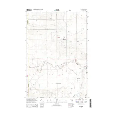
2014 Map of Red Oak
USGS Topo · Published 2014About this map
The Huron National Forest dominates this landscape in Oscoda County, where the winding path of the Au Sable River cuts through the center of the terrain. The small settlement of Red Oak serves as a local anchor near the intersection of W Kneeland Rd and N Red Oak Rd. This 2014 survey documents a network of forest trails and county roads, such as Tuckers Trl and Stay Route, that provide access to the dense woodlands and various water bodies. Significant riparian features include the Parmalee Bridge crossing and the confluence of numerous tributaries like Sohn Cr and Beaver Cr with the main river. To the north, Glenn Lake and the upper reaches of East Br Big Cr illustrate the glacial hydrology of the region, while the southern portion of the quadrangle is defined by the extensive drainage of Big Creek.
Find a feature on this map
60 named features on this map. Tap any name to fly to it.
Don’t see what you’re looking for? This feature index may not catch every label — zoom into the map to look around manually.
Map Details
Editions of this 2014 Red Oak Map
This is the sole edition of this map. No revisions or reprints were ever made.
Other maps of this area

1949 · Lewiston
USGS Topo · 1:62,500

1950 · Comstock Hills
USGS Topo · 1:24,000

1950 · Lovells
USGS Topo · 1:24,000

1951 · Comstock Hills
USGS Topo · 1:24,000

1951 · Lovells
USGS Topo · 1:24,000

1954 · Traverse City
USGS Topo · 1:250,000

1955 · Comins
USGS Topo · 1:62,500

1958 · Traverse City
USGS Topo · 1:250,000

1963 · Luzerne
USGS Topo · 1:24,000

1963 · Eldorado
USGS Topo · 1:24,000