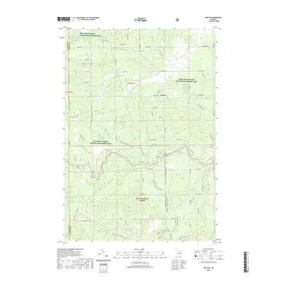
2019 Map of Red Oak
USGS Topo · Published 2019About this map
Kirtlands Warbler Wildlife Management Area and the Huron National Forest dominate this landscape in Oscoda County, highlighting a region dedicated to conservation and habitat preservation. The Au Sable River meanders through the southern portion of the quadrangle, serving as a primary corridor for recreation and natural drainage. Near the river, Parmalee Bridge provides a key crossing point, while the Shore to Shore Trail winds across the terrain, reflecting the area's long-standing importance for long-distance transit and wilderness access.
Find a feature on this map
75 named features on this map. Tap any name to fly to it.
Don’t see what you’re looking for? This feature index may not catch every label — zoom into the map to look around manually.
Map Details
Editions of this 2019 Red Oak Map
This is the sole edition of this map. No revisions or reprints were ever made.
Other maps of this area

1949 · Lewiston
USGS Topo · 1:62,500

1950 · Comstock Hills
USGS Topo · 1:24,000

1950 · Lovells
USGS Topo · 1:24,000

1951 · Comstock Hills
USGS Topo · 1:24,000

1951 · Lovells
USGS Topo · 1:24,000

1954 · Traverse City
USGS Topo · 1:250,000

1955 · Comins
USGS Topo · 1:62,500

1958 · Traverse City
USGS Topo · 1:250,000

1963 · Luzerne
USGS Topo · 1:24,000

1963 · Eldorado
USGS Topo · 1:24,000