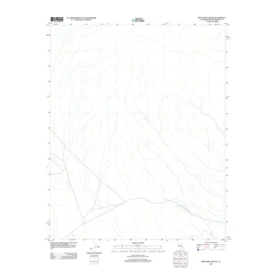
2012 Map of Red Pass Lake NE
USGS Topo · Published 2012About this map
The arid landscape of the Mojave Desert in San Bernardino County is defined by its complex network of seasonal drainage patterns and ephemeral washes. This 2012 topographic survey shows how the terrain slopes toward the southern end of the quadrangle, where the most significant infrastructure is concentrated. Silver Lake Rd serves as the primary corridor through this desert expanse, cutting across the southern portion of the map. The lack of named settlements or permanent water sources indicates the remote character of this region, which remains largely undeveloped and focused on the natural hydrography of the dry wash systems that drain the high desert floor.
Find a feature on this map
1 named feature on this map. Tap any name to fly to it.
Don’t see what you’re looking for? This feature index may not catch every label — zoom into the map to look around manually.
Map Details
Editions of this 2012 Red Pass Lake NE Map
This is the sole edition of this map. No revisions or reprints were ever made.
Other maps of this area

1933 · Avawatz Mountains
USGS Topo · 1:250,000

1947 · Trona
USGS Topo · 1:250,000

1948 · Red Pass Lake
USGS Topo · 1:62,500

1948 · Trona
USGS Topo · 1:250,000

1948 · Avawatz Pass
USGS Topo · 1:62,500

1951 · Avawatz Pass
USGS Topo · 1:62,500

1951 · Red Pass Lake
USGS Topo · 1:62,500

1953 · Trona
USGS Topo · 1:250,000

1956 · Silurian Hills
USGS Topo · 1:62,500

1956 · Baker
USGS Topo · 1:62,500