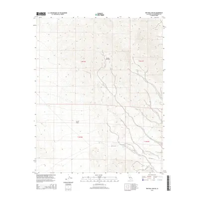
2015 Map of Red Pass Lake NE
USGS Topo · Published 2015About this map
The Avawatz Mountains dominate the northern landscape of this Mojave quadrangle, where high desert elevations meet the arid plains of the Mojave Desert. This 2015 survey captures a stark corner of San Bernardino County, defined by its complex topography and the vast alluvial fans that spill out from the mountain range. A singular human corridor, Silver Lake Rd, traverses the southern portion of the map, providing a glimpse into the sparse infrastructure that serves this section of the desert. The map is primarily characterized by its topographical detail, showing the natural drainage patterns and elevation shifts across township and range boundaries including t16n r6e, t16n r7e, t15n r6e, and t15n r7e. This record is particularly useful for those studying the physical geography of the high desert and the modern road networks that cross these remote areas.
Find a feature on this map
7 named features on this map. Tap any name to fly to it.
Don’t see what you’re looking for? This feature index may not catch every label — zoom into the map to look around manually.
Map Details
Editions of this 2015 Red Pass Lake NE Map
This is the sole edition of this map. No revisions or reprints were ever made.
Other maps of this area

1933 · Avawatz Mountains
USGS Topo · 1:250,000

1947 · Trona
USGS Topo · 1:250,000

1948 · Red Pass Lake
USGS Topo · 1:62,500

1948 · Trona
USGS Topo · 1:250,000

1948 · Avawatz Pass
USGS Topo · 1:62,500

1951 · Avawatz Pass
USGS Topo · 1:62,500

1951 · Red Pass Lake
USGS Topo · 1:62,500

1953 · Trona
USGS Topo · 1:250,000

1956 · Silurian Hills
USGS Topo · 1:62,500

1956 · Baker
USGS Topo · 1:62,500