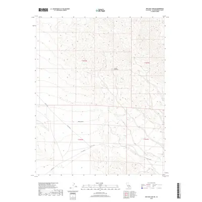
2018 Map of Red Pass Lake NE
USGS Topo · Published 2018About this map
Avawatz Mountains dominate the northern portion of this map, their high ridges and deep canyons giving way to the southern expanse of the Mojave Desert. This arid landscape is defined by the stark transition from mountain slopes to desert floor, with the terrain falling away towards the south. Evidence of the region's limited transportation infrastructure is found in the path of Silver Lake Rd, which cuts across the central desert plains. Secondary routes like 15 E Range Rd and E Range Rd provide the only other human-made imprints on this isolated terrain, illustrating the sparse nature of settlement and movement within San Bernardino County's high desert reaches during this 2018 survey.
Find a feature on this map
9 named features on this map. Tap any name to fly to it.
Don’t see what you’re looking for? This feature index may not catch every label — zoom into the map to look around manually.
Map Details
Editions of this 2018 Red Pass Lake NE Map
This is the sole edition of this map. No revisions or reprints were ever made.
Other maps of this area

1933 · Avawatz Mountains
USGS Topo · 1:250,000

1947 · Trona
USGS Topo · 1:250,000

1948 · Red Pass Lake
USGS Topo · 1:62,500

1948 · Trona
USGS Topo · 1:250,000

1948 · Avawatz Pass
USGS Topo · 1:62,500

1951 · Avawatz Pass
USGS Topo · 1:62,500

1951 · Red Pass Lake
USGS Topo · 1:62,500

1953 · Trona
USGS Topo · 1:250,000

1956 · Silurian Hills
USGS Topo · 1:62,500

1956 · Baker
USGS Topo · 1:62,500