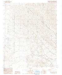
1986 Map of Red Pass Lake NE
USGS Topo · Published 1986About this map
Avawatz Mountains dominate the landscape of this 1986 Mojave Desert survey, showing the sharp transition from high peaks down toward the basin floor. The southwestern portion of the sheet is largely defined by the Fort Irwin Military Reservation, which meets an Indefinite Boundary running through the heart of the range. Mining activity is evident throughout the mountain slopes, with several notable sites including an Open Pit Mine, Mine Dumps, and an Open Mine. These features, along with numerous isolated Prospects, reveal a history of extraction in this arid environment. A lone Spring provides a rare water source indicator amidst the complex topography of the desert canyons and ridges.
Find a feature on this map
12 named features on this map. Tap any name to fly to it.
Don’t see what you’re looking for? This feature index may not catch every label — zoom into the map to look around manually.
Map Details
Editions of this 1986 Red Pass Lake NE Map
This is the sole edition of this map. No revisions or reprints were ever made.
Other maps of this area

1933 · Avawatz Mountains
USGS Topo · 1:250,000

1947 · Trona
USGS Topo · 1:250,000

1948 · Red Pass Lake
USGS Topo · 1:62,500

1948 · Trona
USGS Topo · 1:250,000

1948 · Avawatz Pass
USGS Topo · 1:62,500

1951 · Avawatz Pass
USGS Topo · 1:62,500

1951 · Red Pass Lake
USGS Topo · 1:62,500

1953 · Trona
USGS Topo · 1:250,000

1956 · Silurian Hills
USGS Topo · 1:62,500

1956 · Baker
USGS Topo · 1:62,500