
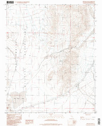
1996 Map of Red Pass Lake
USGS Topo · Published 1996About this map
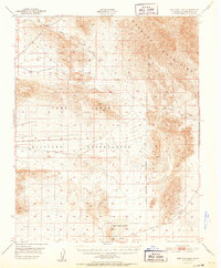
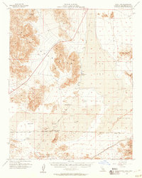
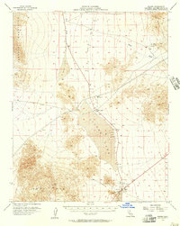
Red Pass Lake sits at the southwestern base of the Soda Mts, marking a stark desert landscape where natural terrain meets military expansion in the late 20th century. Large portions of the map are occupied by the Fort Irwin Military Reservation, with a remote Landing Strip positioned near the reservation boundary. The topography is defined by the steep transition from the Silurian Valley up through the rugged corridor of Red Pass.
Find a feature on this map
11 named features on this map. Tap any name to fly to it.
Don’t see what you’re looking for? This feature index may not catch every label — zoom into the map to look around manually.
Map Details
Editions of this 1996 Red Pass Lake Map
2 editions found
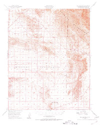
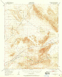
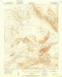
Other maps of this area

1933 · Avawatz Mountains
USGS Topo · 1:250,000

1947 · Trona
USGS Topo · 1:250,000
1948 · Red Pass Lake
USGS Topo · 1:62,500

1948 · Trona
USGS Topo · 1:250,000
1948 · Cave Mountain
USGS Topo · 1:62,500
1951 · Cave Mountain
USGS Topo · 1:62,500
1951 · Red Pass Lake
USGS Topo · 1:62,500

1953 · Trona
USGS Topo · 1:250,000
1956 · Soda Lake
USGS Topo · 1:62,500
1956 · Baker
USGS Topo · 1:62,500