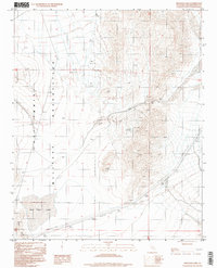
1996 Map of Red Pass Lake
USGS Topo · Published 1998About this map
Fort Irwin Military Reservation dominates the western portion of this mid-1990s desert landscape, marked by a remote Landing Strip and rugged terrain. The boundary of the reservation cuts through the heart of the region, separating the restricted military zone from the Silurian Valley to the east. The arid character of the area is defined by the ephemeral Red Pass Lake and the dry flats of Soda, where salt-crusted basins indicate the harsh climate. Economic activity in this corner of San Bernardino County is traced through small-scale extractive efforts, evidenced by an Open Pit and various scattered Prospects near the geographic landmark of Red Pass. Major infrastructure is limited, consisting primarily of high-voltage Transmission Lines that traverse the Mojave terrain alongside a network of unpaved trails.
Find a feature on this map
13 named features on this map. Tap any name to fly to it.
Don’t see what you’re looking for? This feature index may not catch every label — zoom into the map to look around manually.
Map Details
Editions of this 1996 Red Pass Lake Map
2 editions found
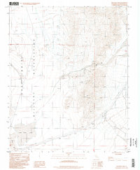
Other maps of this area

1933 · Avawatz Mountains
USGS Topo · 1:250,000

1947 · Trona
USGS Topo · 1:250,000

1948 · Red Pass Lake
USGS Topo · 1:62,500

1948 · Trona
USGS Topo · 1:250,000

1948 · Cave Mountain
USGS Topo · 1:62,500

1951 · Cave Mountain
USGS Topo · 1:62,500

1951 · Red Pass Lake
USGS Topo · 1:62,500

1953 · Trona
USGS Topo · 1:250,000
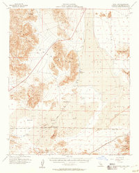
1956 · Soda Lake
USGS Topo · 1:62,500

1956 · Baker
USGS Topo · 1:62,500