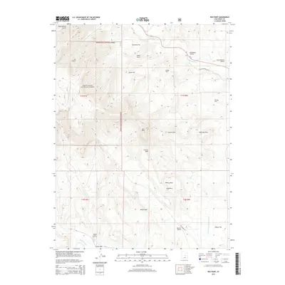
2014 Map of Red Point
USGS Topo · Published 2014About this map
Manti-LaSal National Forest dominates the western portion of this high-plateau landscape, where dramatic elevation changes define the transition from forest heights down to the desert benches. The southern extent of the map features the Wilberg Mine Memorial near Grimes Wash, marking a site of significant local industrial history and remembrance. A complex network of drainages including Huntington Cr, Fivemile Wash, and Bolden Wash carve through the terrain, illustrating the hydrologic patterns that shaped this part of Emery County.
Find a feature on this map
34 named features on this map. Tap any name to fly to it.
Don’t see what you’re looking for? This feature index may not catch every label — zoom into the map to look around manually.
Map Details
Editions of this 2014 Red Point Map
This is the sole edition of this map. No revisions or reprints were ever made.
Other maps of this area

1885 · Manti
USGS Topo · 1:250,000

1886 · Price River
USGS Topo · 1:250,000

1895 · Manti
USGS Topo · 1:250,000

1896 · Price River
USGS Topo · 1:250,000

1923 · Castle Dale
USGS Topo · 1:62,500

1923 · Hiawatha
USGS Topo · 1:62,500

1925 · Castle Dale
USGS Topo · 1:62,500

1925 · Hiawatha
USGS Topo · 1:62,500

1956 · Price
USGS Topo · 1:250,000

1960 · Price
USGS Topo · 1:250,000