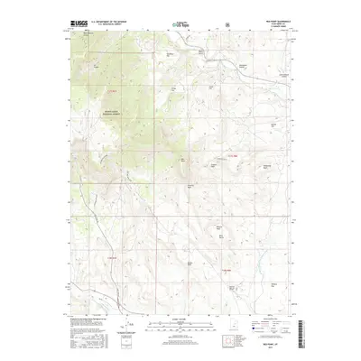
2017 Map of Red Point
USGS Topo · Published 2017About this map
The Manti-La Sal National Forest dominates the western half of this Emery County landscape, where the high plateau meets the industrial desert. The transition is marked by significant coal infrastructure, including the Des Bee Dove Mine and the Old Wilberg Mine Loop, connected by the heavy-duty Coal Haul Rd. These features reflect the region's long-standing reliance on resource extraction during the early 21st century. To the east, the terrain levels out into expansive benches and flats such as Bony Bench and Wilberg Flat. Notable water management is visible in the southeast corner where the Cottonwood Cr Huntington Canal navigates the arid drainage of Cottonwood Cr. The map also preserves local lineage through nomenclature like Chris Otteson Hollow and Brockbank Hollow, grounding the vast geography in specific family histories.
Find a feature on this map
34 named features on this map. Tap any name to fly to it.
Don’t see what you’re looking for? This feature index may not catch every label — zoom into the map to look around manually.
Map Details
Editions of this 2017 Red Point Map
This is the sole edition of this map. No revisions or reprints were ever made.
Other maps of this area

1885 · Manti
USGS Topo · 1:250,000

1886 · Price River
USGS Topo · 1:250,000

1895 · Manti
USGS Topo · 1:250,000

1896 · Price River
USGS Topo · 1:250,000

1923 · Castle Dale
USGS Topo · 1:62,500

1923 · Hiawatha
USGS Topo · 1:62,500

1925 · Castle Dale
USGS Topo · 1:62,500

1925 · Hiawatha
USGS Topo · 1:62,500

1956 · Price
USGS Topo · 1:250,000

1960 · Price
USGS Topo · 1:250,000