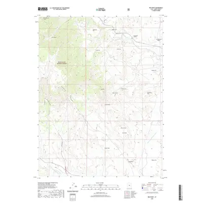
2020 Map of Red Point
USGS Topo · Published 2020About this map
The Des-Bee-Dove-Mine sits at the head of complex drainage systems in this industrial high-desert landscape within the Manti-La Sal National Forest. The map detail reveals a specialized transport network supporting energy extraction, characterized by the Coal Haul Rd and the Old Wilberg Mine Loop. This infrastructure cuts through a series of dramatic geographic benches and flats, including Bony Bench and Danish Bench, which drop toward the Wilberg Flat in the southeast. Water management is a critical feature of the terrain, evidenced by the Cottonwood Cr Huntington Canal and various springs like Herb Rowley Spr. Named features like Chris Otteson Hollow and Brockbank Hollow reflect the region's history of family land use and early settlement patterns along the canyons and washes.
Find a feature on this map
29 named features on this map. Tap any name to fly to it.
Don’t see what you’re looking for? This feature index may not catch every label — zoom into the map to look around manually.
Map Details
Editions of this 2020 Red Point Map
This is the sole edition of this map. No revisions or reprints were ever made.
Other maps of this area

1885 · Manti
USGS Topo · 1:250,000

1886 · Price River
USGS Topo · 1:250,000

1895 · Manti
USGS Topo · 1:250,000

1896 · Price River
USGS Topo · 1:250,000

1923 · Castle Dale
USGS Topo · 1:62,500

1923 · Hiawatha
USGS Topo · 1:62,500

1925 · Castle Dale
USGS Topo · 1:62,500

1925 · Hiawatha
USGS Topo · 1:62,500

1956 · Price
USGS Topo · 1:250,000

1960 · Price
USGS Topo · 1:250,000