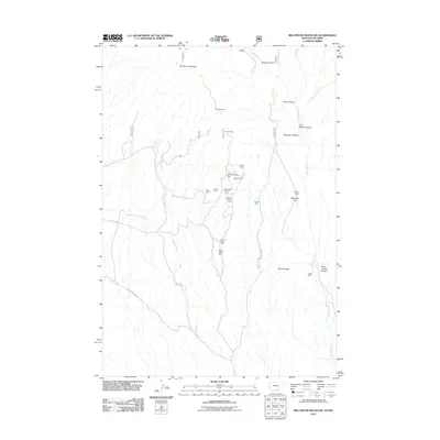
2011 Map of Red Pryor Mountain
USGS Topo · Published 2011About this map
Red Pryor Mountain and its surrounding drainages define this high-elevation landscape in south-central Montana, where industrial activity and ranching roots meet. The terrain is marked by a significant concentration of mineral extraction sites concentrated along central ridges, including the Old Glory Mine, Sandra Mine, and the Lisbon Mine. These operations, alongside others like the Marie Mine and The Dandy Mine, indicate a history of local resource development within this portion of the Pryor Mountains.
Find a feature on this map
27 named features on this map. Tap any name to fly to it.
Don’t see what you’re looking for? This feature index may not catch every label — zoom into the map to look around manually.
Map Details
Editions of this 2011 Red Pryor Mountain Map
This is the sole edition of this map. No revisions or reprints were ever made.
Other maps of this area

1954 · Billings
USGS Topo · 1:250,000

1955 · Cody
USGS Topo · 1:250,000

1957 · Billings
USGS Topo · 1:250,000

1958 · Billings
USGS Topo · 1:250,000

1958 · Cody
USGS Topo · 1:250,000

1962 · Cody
USGS Topo · 1:250,000

1964 · Big Ice Cave
USGS Topo · 1:24,000

1964 · Red Pryor Mountain
USGS Topo · 1:24,000

1964 · Sykes Spring
USGS Topo · 1:24,000

1964 · East Pryor Mountain
USGS Topo · 1:24,000