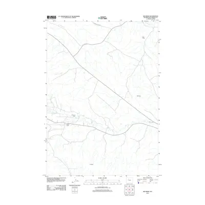
2012 Map of Red Ridge
USGS Topo · Published 2012About this map
Gwynns Ranch sits along the southern course of Grass Cr in this rural landscape within Hot Springs County. The area is defined by a series of parallel drainage systems and prominent landforms, including Blue Ridge, Red Ridge, and Ilo Ridge, which dictate the local topography. Human activity is focused primarily on the road network, such as Gooseberry Creek Rd, and specific geological features like Coalmine Draw and Spring Gulch. The map illustrates a high-desert ranching environment where water sources like Gooseberry Cr and natural draws are the primary landmarks in an otherwise open terrain.
Find a feature on this map
9 named features on this map. Tap any name to fly to it.
Don’t see what you’re looking for? This feature index may not catch every label — zoom into the map to look around manually.
Map Details
Editions of this 2012 Red Ridge Map
This is the sole edition of this map. No revisions or reprints were ever made.
Other maps of this area

1913 · Grass Creek Basin
USGS Topo · 1:62,500

1914 · Blue Mesa
USGS Topo · 1:62,500

1915 · Grass Creek Basin
USGS Topo · 1:62,500

1916 · Blue Mesa
USGS Topo · 1:62,500

1951 · Hillberry Rim
USGS Topo · 1:24,000

1951 · Dutch Nick Flat SW
USGS Topo · 1:24,000

1951 · Gillies Draw
USGS Topo · 1:24,000

1955 · Cody
USGS Topo · 1:250,000

1955 · Thermopolis
USGS Topo · 1:250,000

1958 · Cody
USGS Topo · 1:250,000