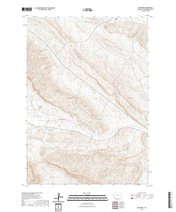
2021 Map of Red Ridge
USGS Topo · Published 2021About this map
Red Ridge and Blue Ridge dominate this high-desert landscape in Hot Springs County, where the terrain is defined by a series of prominent uplifted features and deep drainage channels. The area's history of natural resource extraction and ranching is etched into the land through names like Coalmine Draw and Spring Gulch. The Grass Creek Basin occupies the western portion of the map, a significant geographical depression flanked by the rising elevations of Ilo Ridge to the south.
Find a feature on this map
17 named features on this map. Tap any name to fly to it.
Don’t see what you’re looking for? This feature index may not catch every label — zoom into the map to look around manually.
Map Details
Editions of this 2021 Red Ridge Map
This is the sole edition of this map. No revisions or reprints were ever made.
Other maps of this area

1913 · Grass Creek Basin
USGS Topo · 1:62,500

1914 · Blue Mesa
USGS Topo · 1:62,500

1915 · Grass Creek Basin
USGS Topo · 1:62,500

1916 · Blue Mesa
USGS Topo · 1:62,500

1951 · Hillberry Rim
USGS Topo · 1:24,000

1951 · Dutch Nick Flat SW
USGS Topo · 1:24,000

1951 · Gillies Draw
USGS Topo · 1:24,000

1955 · Cody
USGS Topo · 1:250,000

1955 · Thermopolis
USGS Topo · 1:250,000

1958 · Cody
USGS Topo · 1:250,000