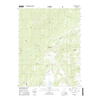
2017 Map of Red Ridge
USGS Topo · Published 2017About this map
Fishlake National Forest defines the rugged geography of this Sevier and Millard County border region, where the high ridges of the Pahvant Range rise toward peaks like South Mtn and Granddad Peak. The landscape is a network of named canyons and drainage basins, including Dameron Canyon, Limekiln Canyon, and the broad Charlesworth Valley. This era of management within the national forest is marked by a complex system of forest roads and trails, such as Trail 1502 and Trail 1551, which provide access to remote water sources like Staples Spring and First Creek Spring.
Find a feature on this map
59 named features on this map. Tap any name to fly to it.
Don’t see what you’re looking for? This feature index may not catch every label — zoom into the map to look around manually.
Map Details
Editions of this 2017 Red Ridge Map
This is the sole edition of this map. No revisions or reprints were ever made.
Other maps of this area

1885 · Beaver
USGS Topo · 1:250,000

1932 · Sevier
USGS Topo · 1:62,500

1935 · Sevier
USGS Topo · 1:62,500

1953 · Richfield
USGS Topo · 1:250,000

1958 · Richfield
USGS Topo · 1:250,000

1962 · Fillmore
USGS Topo · 1:62,500

1962 · Tabernacle Hill
USGS Topo · 1:62,500

1962 · Cove Fort
USGS Topo · 1:62,500
1980 · Joseph Peak
USGS Topo · 1:24,000

1980 · Richfield
USGS Topo · 1:100,000