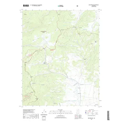
2020 Map of Red River Pass
USGS Topo · Published 2020About this map
Carson National Forest encompasses this high-altitude landscape along the border of Taos and Colfax counties. The map documents a complex network of mountain passages and alpine meadows, including the historic Old Red River Pass, Bobcat Pass, and Costilla Pass. These gaps were essential conduits for travel between the high peaks of the Taos Mountains and the grazing lands of Valle Vidal.
Find a feature on this map
44 named features on this map. Tap any name to fly to it.
Don’t see what you’re looking for? This feature index may not catch every label — zoom into the map to look around manually.
Map Details
Editions of this 2020 Red River Pass Map
This is the sole edition of this map. No revisions or reprints were ever made.
Other maps of this area

1954 · Raton
USGS Topo · 1:250,000

1955 · Ute Park
USGS Topo · 1:62,500

1958 · Raton
USGS Topo · 1:250,000

1962 · Ash Mountain
USGS Topo · 1:62,500

1963 · Wheeler Peak
USGS Topo · 1:24,000

1963 · Eagle Nest
USGS Topo · 1:24,000

1963 · Red River Pass
USGS Topo · 1:24,000

1963 · Latir Peak
USGS Topo · 1:24,000

1963 · Comanche Point
USGS Topo · 1:24,000

1963 · Red River
USGS Topo · 1:24,000