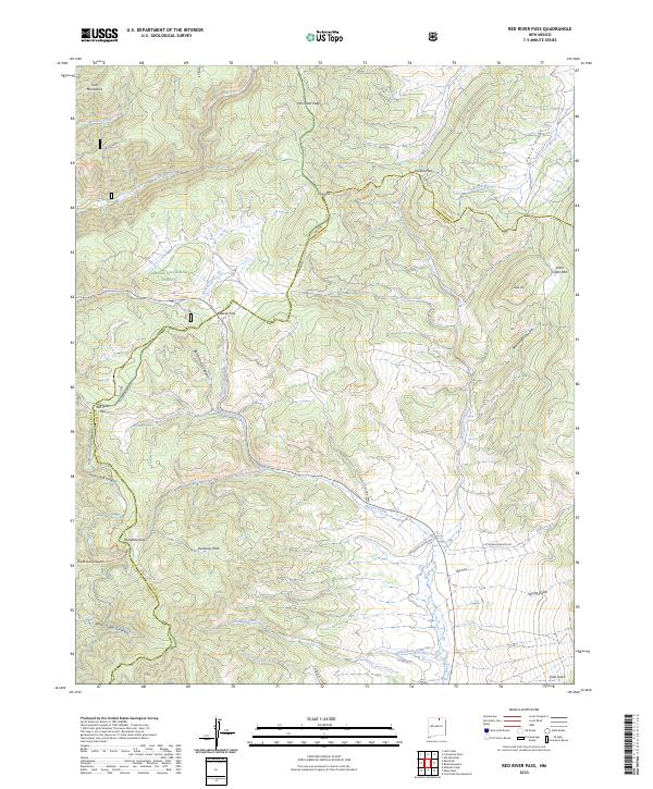
2023 Map of Red River Pass
USGS Topo · Published 2023About this map
Old Red River Pass and the surrounding high-altitude terrain define the boundary between Taos and Colfax counties in this modern survey of northern New Mexico. The landscape is a network of mountain crossings and protected wilderness areas, including the northern edge of the Wheeler Peak Wilderness and parts of the Carson National Forest. Significant drainages such as Moreno Creek, Bitter Creek, and Bobcat Creek carve through the peaks, while named meadows like Kentucky Park and Hematite Park provide small clearings in the dense forest cover.
Find a feature on this map
43 named features on this map. Tap any name to fly to it.
Don’t see what you’re looking for? This feature index may not catch every label — zoom into the map to look around manually.
Map Details
Editions of this 2023 Red River Pass Map
This is the sole edition of this map. No revisions or reprints were ever made.
Other maps of this area

1954 · Raton
USGS Topo · 1:250,000

1955 · Ute Park
USGS Topo · 1:62,500

1958 · Raton
USGS Topo · 1:250,000

1962 · Ash Mountain
USGS Topo · 1:62,500

1963 · Wheeler Peak
USGS Topo · 1:24,000

1963 · Eagle Nest
USGS Topo · 1:24,000

1963 · Red River Pass
USGS Topo · 1:24,000

1963 · Latir Peak
USGS Topo · 1:24,000

1963 · Comanche Point
USGS Topo · 1:24,000

1963 · Red River
USGS Topo · 1:24,000