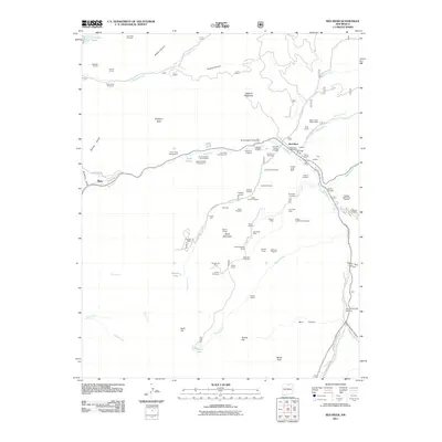
2011 Map of Red River
USGS Topo · Published 2011About this map
Red River occupies a high-altitude canyon in Taos County, where this 2011 survey records the intersection of modern recreation and a deep-rooted mining history. The landscape is dense with evidence of the area's mineral extraction past, including the Copper King Mine and Buffalo Mine, alongside numerous prospects like the Lone Star Lode and Hilltop Gold Placer Prospect. While the Red River Post Office serves the town center, the surrounding terrain is defined by steep canyons such as Graveyard Canyon and Bonito Canyon.
Find a feature on this map
88 named features on this map. Tap any name to fly to it.
Don’t see what you’re looking for? This feature index may not catch every label — zoom into the map to look around manually.
Map Details
Editions of this 2011 Red River Map
This is the sole edition of this map. No revisions or reprints were ever made.
Other maps of this area

1954 · Raton
USGS Topo · 1:250,000

1958 · Raton
USGS Topo · 1:250,000

1963 · Wheeler Peak
USGS Topo · 1:24,000

1963 · Eagle Nest
USGS Topo · 1:24,000

1963 · Arroyo Seco
USGS Topo · 1:24,000

1963 · Red River Pass
USGS Topo · 1:24,000

1963 · Cerro
USGS Topo · 1:24,000

1963 · Questa
USGS Topo · 1:24,000

1963 · Latir Peak
USGS Topo · 1:24,000

1963 · Comanche Point
USGS Topo · 1:24,000